To help you choose a place to live in Mauritius, here's an overview of the island's geography, including cities and districts.
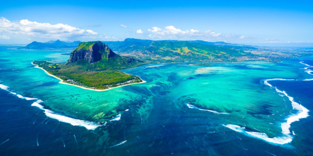
Mauritius is located in the Southern Hemisphere, in the Southeast of the Indian Ocean, North of the Tropic of Capricorn, 20° South latitude and 57° East longitude. Mauritius is part of Southern Africa. The island represents about 91% of the total area of the Republic of Mauritius, covering 1,865 km².
The total area of the Republic of Mauritius, 2,040 km², includes several islands, islets and dependent reefs, including Rodrigues Island and the archipelagos of Saint-Brandon and Agalega. Mauritius has about 330 km of coastline, surrounded by a lagoon, itself protected by a coral reef.
Mauritius capital, cities and districts
The capital of Mauritius, Port Louis, is home to the Government House as well as the main government and financial institutions. It is also home to most of the country's economic activity, although there has been rapid decentralization in the last few years. Port Louis is the largest city on the island and is the most densely populated.
However, there are other important cities such as Curepipe, Quatre-Bornes, Beau Bassin - Rose Hill and Vacoas-Phoenix. Apart from the main cities mentioned above, the villages are attached to the different districts.
The island is divided into 10 districts:
- Black River
- Flacq
- Grand Port
- Moka
- Pamplemousses
- Plaines Wilhems
- Port-Louis
- Rivière du Rempart
- Savanne
- Rodrigues
9 districts are located on the main island, the 10th district being Rodrigues Island, a dependency of the Republic of Mauritius located 550 km North-East of Mauritius.
Since October 12, 2002, Rodrigues has been an autonomous district.
The Mascarene Archipelago
The island is part of the Mascarene Archipelago, which includes Mauritius, Reunion and Rodrigues. This archipelago is the result of underwater volcanic eruptions. Only Reunion Island still has volcanic activity with the Piton de la Fournaise volcano. In Mauritius, there are also traces of a dormant volcano called Trou aux Cerfs.
Approximate distances from Mauritius:
- 226 km from Reunion Island
- 1,132 km from Madagascar
- 3,318 km from the East African coast
- 5,110 km from India
- 7,722 km from Australia
- 7,941 km from China
- 9,400 km from France
Good to know:
Depending on the sector of activity, some entrepreneurs will have to obtain the authorization of the District Council or the Municipality before starting their activity.
We do our best to provide accurate and up to date information. However, if you have noticed any inaccuracies in this article, please let us know in the comments section below.