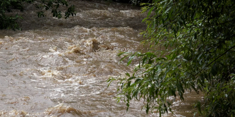
With the summer season, comes the heavy rains (or so we hope, anyway!). This week, Mauritius has been under a heavy rain warning. What are the real risks of flooding and water accumulation? What are the most vulnerable areas? What are the precautions to take?
What are the real risks of flooding and water accumulation?
Mauritius faces a real problem of water accumulation during the rainy season. The country has 306 flood-prone areas and about 50 are at high risk, according to the latest analyses. The last ten years, the country has often been subject to torrential rainfall and the risk of flooding is real. Ten years ago, ten people lost their lives to flash floods.
The increasing occurrence of flooding and water accumulation is due to changing landscape due to development across the island. There has been some work in the sugar cane fields, for example, which has blocked natural drains. This has resulted in flooding areas. For several years now, the authorities have therefore made the installation of drains a priority. In addition to this, there is also preparation ahead of the rainy season: cleaning of the drains and also of rivers, in order to facilitate the passage of water in case of rainfall. The Land Drainage Authority (LDA) also plans to create water retention basins in flood-prone areas as well as protective drains to capture the water and divert its path so that it does not affect habitable areas.
What precautions should be taken during heavy rains?
The best precaution is to remain indoors and not venture outside. If you notice water rising in your home or yard, place sandbags to keep the water out. Stay away from high-risk areas such as rivers and streams that may be in spate and areas prone to flooding. It is also recommended that you head for higher ground if the water continues to rise. Keep an emergency kit on hand in case of evacuation.
During storms, avoid sheltering under trees or high structures. Make sure electrical appliances in your home are disconnected. If you are on the road, avoid puddles. Other precautions include not going to the sea, avoiding hiking in the mountains or near waterfalls, and avoiding areas of high risk for landslides and washouts and areas prone to water ponding.
These high risk areas
Vallée-Pitot; Tranquebar; Port-Louis; Morcellement La Vallée, Le Cornu, Ste-Croix; Canal Anglais; Cité Richelieu; Fond-du-Sac; L'Amitié; Cité EDC, Cottage; Canal Dayot, Bell Village, the area around the Line Barracks police station, the area around Le Pouce creek from Tranquebar to Jardin de la Compagnie, Plaine Verte, and the banks of the Lataniers River from Vallée des Prêtres to Cité La Cure; Cité Roma, Riche-Terre; Terre-Rouge; Baie-du-Tombeau; Pointe-aux-Piments; Petite Julie; Camp Thorel; Poste-de-Flacq; Trois-Boutiques; Plaine-Magnien; Mare-Tabac; Nouvelle-France; La Flora; Bambous; Morcellement Chazal, Flic-en-Flacq; Quatre-Bornes; Moka; Coromandel; Rivière-Noire; and the South-East region (from Bambous-Virieux to Rivière-des-Créoles.


